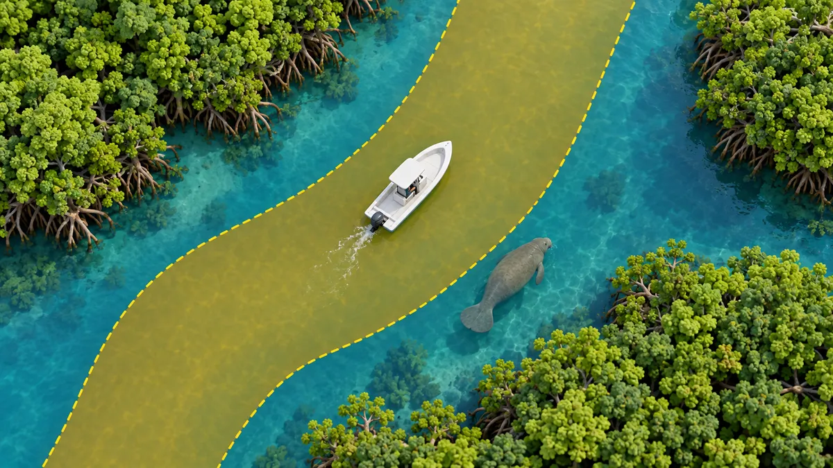
 1
1Know the zone before you go
Open the map and see every Florida manatee zone colored by the rule in effect right now. Pick any date and time to plan ahead.
 Reel Nauti Charts
See the speed rule in effect anywhere in Florida, get warned before you reach it, and plan a legal, shallow-safe route with an AI Captain that works from real data.
Free to use. Try every feature free for 14 days. No card needed. Create a free account to start your trial.
Three things, done well.
1Open the map and see every Florida manatee zone colored by the rule in effect right now. Pick any date and time to plan ahead.
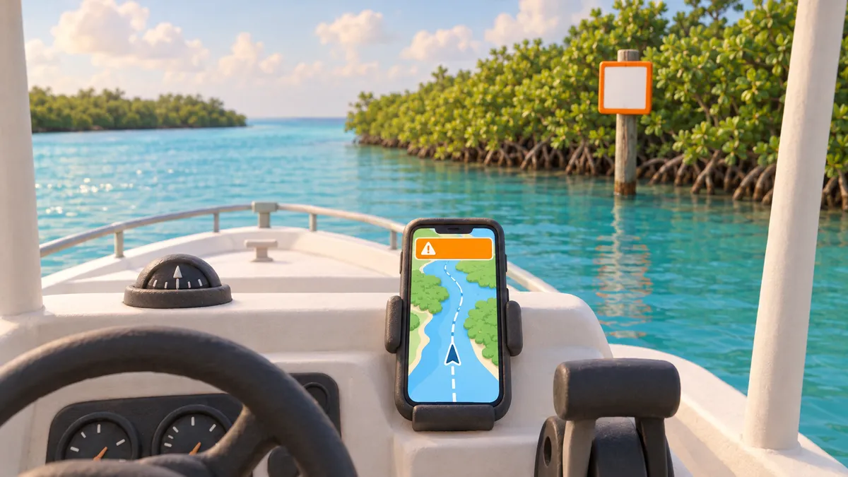 2
2Turn on live tracking and we call out the next zone, how far away it is, and chime if you're over the limit.
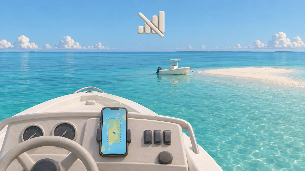 3
3Save the water you ride for offline use. Zone rules and alerts keep working far from a cell tower.
Safety comes free. The planning tools are the paid extras.
All 633 zones colored by the speed rule in effect right now, or on any date. Seasonal, weekend and night rules worked out for you, with the official rule text on every zone.
Follow your position on the map with your speed against the limit, the next zone ahead, and voice callouts, chimes and vibration if you're over. In the Android app the alerts keep working with the screen off.
Drag a box over the water you ride and save it, base map included. Zone rules and alerts keep working far from a cell tower, and the app opens with no signal after one visit.
NWS forecasts plus NOAA tides and currents for where you're headed, and a "This weekend" card that rates each day for your spots. The Android app can send a Friday morning outlook.
Tell someone where you're going and get them emailed if you're overdue, share a live location link that expires, and get woken if your anchor drags.
Pick the situation and get your exact position ready to read out, text or copy, a 911 button, a VHF Mayday or Pan-Pan script, checklists and a man-overboard mark. No account needed.
See debris, new shoals, broken markers and closures flagged by other boaters, and report your own. Reports are confirmed or cleared by the community and expire on their own.
One tap to report a manatee, dolphin, turtle, shark or bird, with an optional note and photo. See other boaters' recent reports on the map and get a heads-up when you're near a fresh manatee report. The Android app can also alert you about sightings near your favorite spot.
14,000+ Coast Guard channel markers, with a guide line drawn through the red and green pairs so you can see where the marked channel runs.
Over 1,600 boat ramps, nearly 2,000 marinas, fuel docks, hand-launch spots and artificial reefs across Florida, with hours, phone numbers, services, reviews from other boaters, and the best time to go today.
Collect a stamp at each of 88 Florida boating destinations in 36 counties just by arriving by boat. Earn ranks, finish regional and monthly challenges and share your passport. Featured businesses can add their own stamp with a reward, like 10% off bait.
Every trip saved on your phone: route, moving time, top speed, stops and the zones you went through. Replay it as a 3D flyover, save it as a video, or share a link that lasts 90 days.
Save your favorite spots, build and reorder your own multi-stop rides, and browse ready-made rides to 88 destinations, nearest first. Optionally back them up to your account so they follow you to a new phone.
Ask in plain English, or talk hands-free while you drive and hear the answer read aloud. The Captain plans your day using real zones, depth routing, weather, tides and fuel, then starts navigation for you. It never invents a speed, depth or forecast.
Pick a destination and go. Auto-routes on NOAA depth data through posted channels, around slow zones, under bridges that clear your boat's height and out to offshore reefs, then guides you the whole way with a briefing of distance, time, zones crossed, shallow stretches, fuel left and a go / caution / stop weather timeline.
Tell it where you want to watch the sunset and it works out when to leave to get there and be home before dark, with a reminder on your phone or a calendar file.
Pick how long you have and a mood. The Captain chooses the destination, checks weather, tides and your boat's depth, and builds the whole trip.
Multi-stop itineraries with lunch stops, fuel and sunset timing, built by the Captain for your boat. Save the result as a ride or turn it into a float plan.
Start with a 14-day trial of everything. Keep the free plan forever.
or $99 a year
Put your business in front of boaters at the moment they're choosing where to go.
Know where every jet ski and boat is, without buying a single tracker. Renters scan your QR code and share from their own phone.
See who is out, how long, how fast and how far from your dock, with the ones needing attention at the top.
Draw circles, boxes or an exact outline of where renters may ride, or set a band along the shoreline (like “stay 500 ft off the shore”) that you resize by dragging, and mark areas they must stay out of. Each zone can have its own speed limit and its own alerts: push, email and a sound alarm on the dashboard, with a test button. Renters are warned on their own screen too.
See each rental's path on the map, live and afterwards, with miles, top speed and idle time. Every zone incident is logged with when it started, how long it lasted and who was told. Renters pick how long they have the craft, and every finished rental is kept with a CSV export.
Ask where Jet Ski 1 is, how far it is from the dock and roughly how much gas it has. Fuel is an estimate from time out, with tank and burn set for each craft.
In the Android app, get alerts for a renter outside the zone, overdue, not reporting or possibly low on fuel, and send renters a quick message like "please head back".
After the ride, renters can make a 3D video of their trip that credits your business and invites them to try the app.
No hardware, no contract, no card for the trial. Cancel any time. Renters agree to be tracked when they start, and tracking runs until they are back at your dock or you end the rental. Push notifications reach renters using the Android app.
Everything safety-related is free forever: the manatee zones, live alerts, offline downloads, weather and tides, float plans, location sharing, the anchor alarm, emergency help, hazard and wildlife reports, the Boater's Passport, trip history and replays, and saved places and rides. End-to-end navigation to a destination, the AI Captain, the sunset planner and trip planning are part of the paid plan.
You get every feature, paid ones included, for 14 days. After that the free features stay free and the paid ones need a subscription.
The zones come from the Florida Fish and Wildlife Conservation Commission, with the official rule text on each zone. The app is a reference only. Posted signs and Florida law always apply.
Routing uses NOAA depth data and covers Florida's coast from Pensacola to Jacksonville and the Keys, including offshore reefs. The zone map, alerts, places and Passport cover the whole state.
The Captain only answers from real data: zones, depths, weather, tides and fuel. It won't invent a speed limit, depth or forecast, and nothing happens in the app until you tap the button it shows you.
Both. The website works in any phone or desktop browser, can be added to your home screen, and opens with no signal after one visit. The Android app adds GPS that keeps running with the screen off, lock-screen zone alerts and push notifications. There's no iPhone app yet.
Nobody, unless you choose. Navigation and alerts use your location on your device. It only leaves your phone when you start a live location share, send a float plan, or start a rental with a rental company, where tapping Start means they track you until you're back at the dock. Shared locations expire.
A stamp collection for getting out on the water. Arrive by boat at any of 88 Florida destinations across 36 counties and you earn its stamp, then work toward ranks and regional and monthly challenges. Featured businesses can add their own stamp with a reward.
Yes, and you can set it up yourself. Add your craft, print your QR code, and renters scan it to share their location from their own phone. You see every active rental on a live map with ride-zone, speed, overdue and no-signal alerts, can ask the AI Fleet Captain where a craft is and roughly how much fuel it has, and can push messages to renters in the Android app. Try it free for 14 days, no card needed.
A featured listing is $39 every 30 days, with a logo, photos, contact buttons and your own Passport stamp on the map. It renews automatically until you cancel, and you can cancel any time from your private management link. Find your business or add it by address on the list-your-business page.
Open the map and see the rule for the water in front of you.
Open the map